Aerial Drone Photographer in Victoria & Vancouver, BC
Agile Drone Services provides professional aerial drone photography services from our team of licensed commercial pilots. Based in Victoria, we take on projects throughout British Columbia, including Vancouver & Vancouver Island.
Aerial DRONE photography
Drone Photography & Videography.
High-Resolution photo and video for any event.
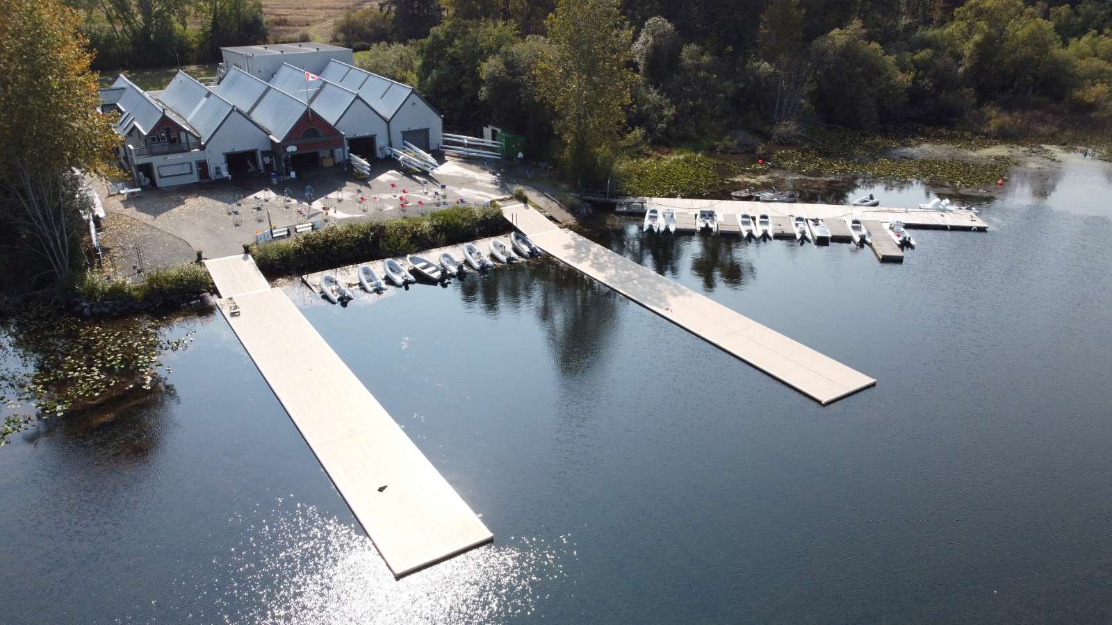
Capture every moment, from every angle, in high-resolution.
Indoors or outdoors, our aerial photographers can safely navigate any event space and take breathtaking photos and video.
Perfect for social media, news media, branded video and large events.
Let us know what moments you need captured!
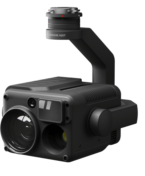
Zenmuse H20T Camera
20mp Zoom Camera with 20 x Optical zoom including a thermal camera with impressive specs. This sensor allows for various missions off of one payload.
Learn More
The impressive H20 and H20 T – run exclusively on the flagship M300RTK due to the weight. Packing 4 sensors devices into one payload is more efficient than carrying multiple payloads on one drone. The thermal camera is a true thermal camera that allows for post analysis of recorded data. The data can be compared to the same colour photo or video taken at the same time. We are able to use this setup to give you temperature reports of just about anything. the optical zoom, combined with the 20mp sensor allows us to zoom in without losing amazing captures. The 12 mp wide angle is great for panoramic photos and the laser rangefinder has numerous applications for inspection projects. We like this device so much we also sell it!
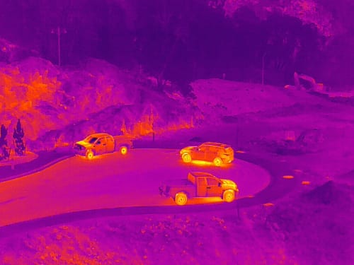
Radiometric Heat Visualization (Thermal Imaging)
Our thermal imaging technology can accurately identify heat signatures from distance and can be utilized for a wide range of applications…
Learn More
Now you can easily inspect energy and power handling structures to identify hot spots and troubleshoot before any failures.
Easily produce measurable and reliable data you can see and understand.
Employ thermal imaging for your agricultural areas by mapping ground and crop temperatures, the perfect tool for managing water resources and yields.
Aerial DRONE photography
Industrial Inspection.
Wide-angle, extreme zoom & thermal imaging at high-resolution.
Radiometric Heat Visualization (Thermal Imaging)
Our thermal imaging technology can accurately identify heat signatures from distance and can be utilized for a wide range of applications…
Learn More
Now you can easily inspect energy and power handling structures to identify hot spots and troubleshoot before any failures.
Easily produce measurable and reliable data you can see and understand.
Employ thermal imaging for your agricultural areas by mapping ground and crop temperatures, the perfect tool for managing water resources and yields.
Safer. Cheaper. Faster.
There is no longer a need to send personnel climbing up towers and hanging from height for manual inspections.
Our drones can navigate tight areas and take high-resolution photographs with extreme zoom, even from a distance.
Contact us to find out how our aerial photographers can help make your routine inspections cheaper and easier.
Aerial DRONE photography
Aerial Survey & Mapping.
Create hyper-accurate models of your survey area faster and cheaper than with traditional methods.
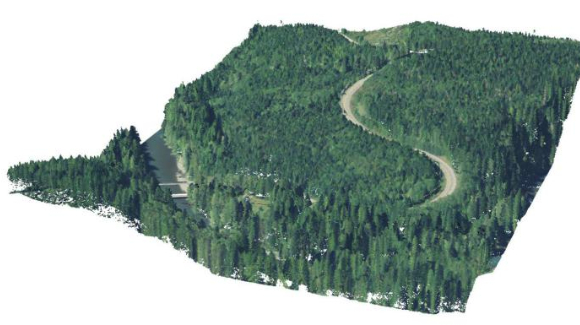
LiDAR & LiDAR RGB
Equipped with LiDAR technology, our drones can measure ground shape, structures, stockpiles and more with hyper-accurate precision…
Learn More
By taking many photos of the same area from different aerial vantage points and tagging them with coordinates, we are able to produce 3D colour models of your survey area, safely and at a fraction of the cost of the alternatives.
Surveying with drone technology can save you time and money as you no longer need to rent helicopters and rely on weather.
Ideal for planning, construction, roadworks, gravel yards, silvaculture — you name it!
Our aerial photographers work with top-of-the-line drone & camera equipment to provide you with high-quality aerial photographs.
Contact us with any questions and find out how we can help complete your project.
LiDAR & LiDAR RGB
Equipped with LiDAR technology, our drones can measure ground shape, structures, stockpiles and more with hyper-accurate precision…
Learn More
By taking many photos of the same area from different aerial vantage points and tagging them with coordinates, we are able to produce 3D colour models of your survey area, safely and at a fraction of the cost of the alternatives.
The Safest Practices. The Best Equipment.
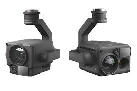
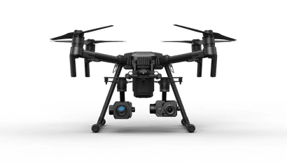
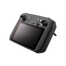
Our brand new Zenmuse H20T Sensor Payload is capable of capturing “super-res” photos of structures, assets, events…you name it, both wide-angled and with extreme zoom.
Ready to get off the ground?

Everything Drone, in British Columbia
