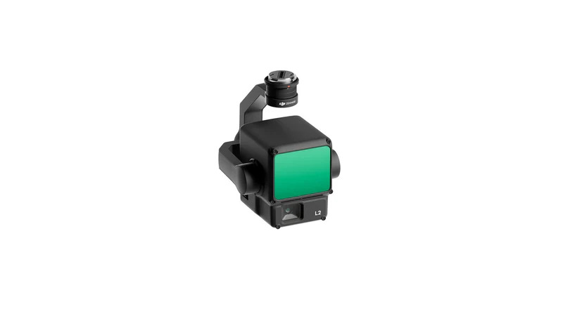
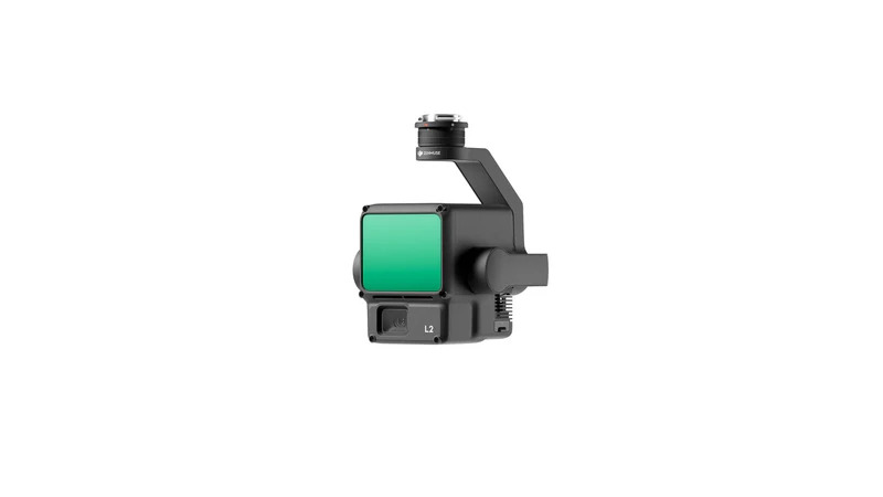
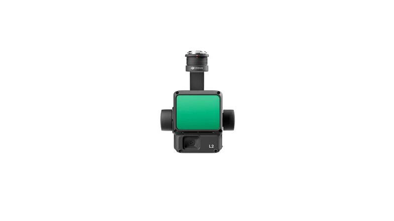
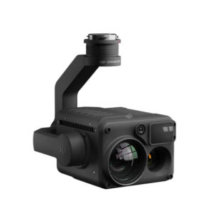
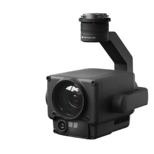
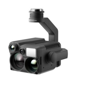
Zenmuse L2
$16,659.00 – $18,170.00
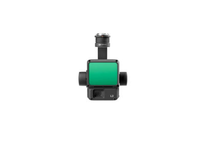
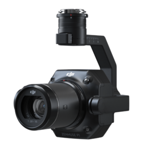
The Zenmuse L2 seamlessly combines frame LiDAR technology, an in-house high-precision IMU system, and a 4/3 CMOS RGB mapping camera. This integration empowers DJI flight platforms with the capability to acquire geospatial data with heightened precision, efficiency, and reliability. When paired with DJI Terra, it offers a comprehensive solution for 3D data acquisition and high-accuracy post-processing.
Additional information
Zenmuse L2
The Zenmuse L2 seamlessly combines frame LiDAR technology, an in-house high-precision IMU system, and a 4/3 CMOS RGB mapping camera. This integration empowers DJI flight platforms with the capability to acquire geospatial data with heightened precision, efficiency, and reliability. When paired with DJI Terra, it offers a comprehensive solution for 3D data acquisition and high-accuracy post-processing.
Significant Range Enhancement
The L2 has the ability to detect objects from a range of 250 meters under conditions of 10% reflectivity and 100 klx [3], extending all the way up to 450 meters when confronted with 50% reflectivity and 0 klx conditions [3]. Furthermore, the standard operational altitude has been elevated to 120 meters, significantly bolstering both operational safety and efficiency.
Increased Point Cloud Density
Featuring a smaller spot size measuring 4×12 cm at 100 meters, which is only a fifth of L1’s spot size, the L2 excels in detecting smaller objects with enhanced detail. Additionally, it possesses the capability to penetrate denser vegetation, resulting in the creation of more precise Digital Elevation Models (DEMs).
5 Returns Support
In densely vegetated regions, the L2 has the capability to capture a greater number of ground points beneath the foliage.
Dual Scanning Mode
The L2 provides support for two distinct scanning modes, offering users flexibility based on their specific task requirements. In the repetitive scanning mode, the L2’s LiDAR excels at generating uniform and precise point clouds, meeting the demands of high-precision mapping.
Conversely, in the non-repetitive scanning mode, it offers enhanced penetration for capturing more structural information, rendering it suitable for tasks such as power line inspection, forestry surveying, and other similar scenarios.
Frame Based Design
The frame-based design translates into an efficient point cloud data rate that can reach up to 100%. When coupled with a three-axis gimbal, it opens up a wider range of possibilities for various surveying scenarios.
Have Questions?

Everything Drone, in British Columbia
