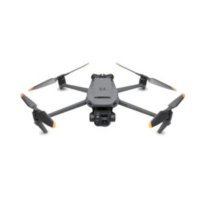
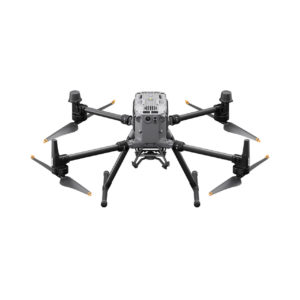
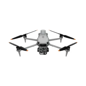
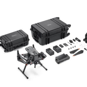
DJI Matrice 400 SP Plus Combo

DJI Matrice 400 SP Plus Combo
$10,479.00
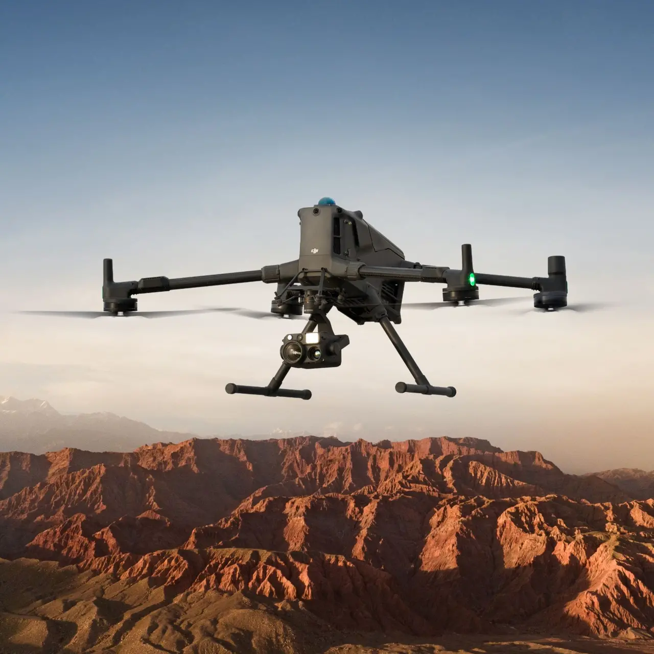
The DJI Matrice 400 is DJI’s latest enterprise drone platform, engineered to meet the rigorous demands of industrial and professional applications. Building upon the strengths of its predecessors, the Matrice 400 offers significant advancements in payload capacity, flight endurance, and environmental adaptability.
dji-matrice-400-side
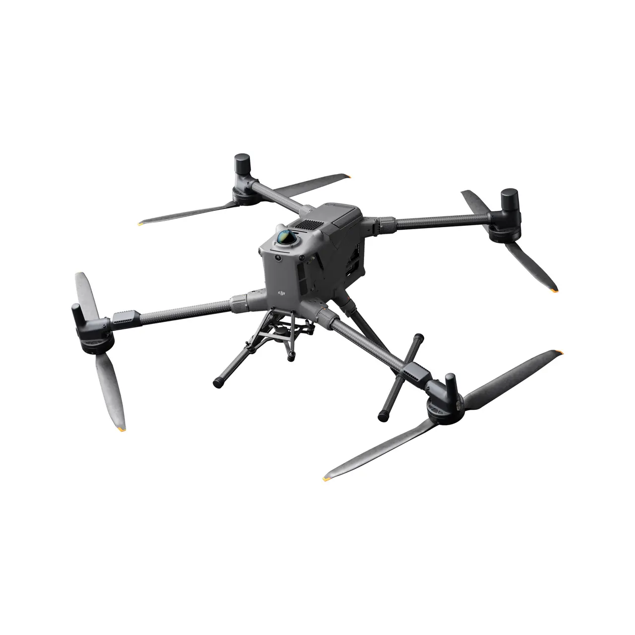
dji-matrice-400-top
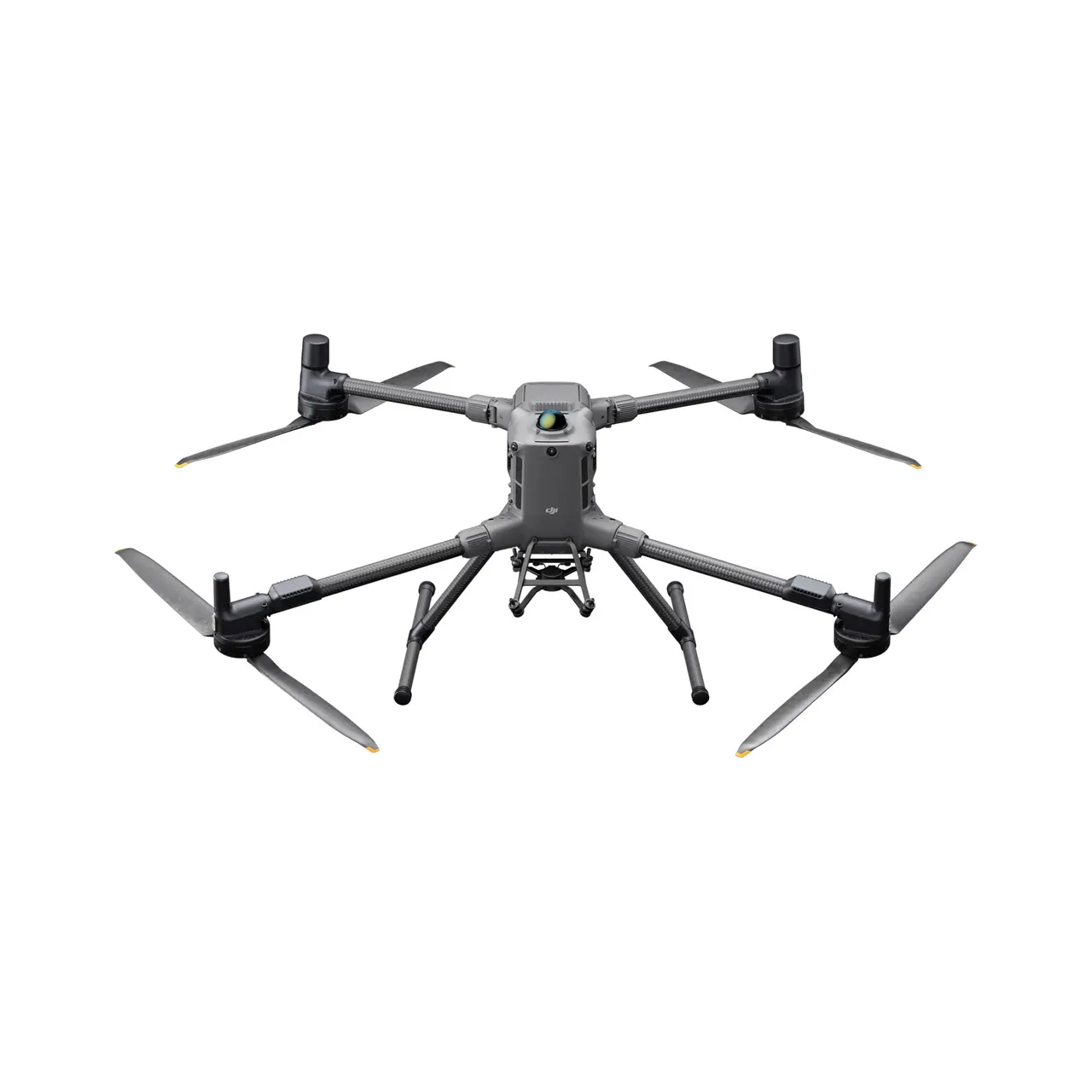
dji-matrice-400-above
Additional information
DJI Matrice 400 SP Plus Combo
Key Features
Extended Flight Time
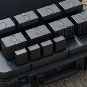
Achieve up to 59 minutes of flight time under optimal conditions, allowing for prolonged missions without the need for frequent battery changes.
Increased Payload Capacity
Support for payloads up to 6 kg, enabling the integration of multiple or heavier sensors and equipment to meet diverse operational needs.
Robust Environmental Resistance
With an IP55 rating, the Matrice 400 is designed to operate reliably in challenging weather conditions, including rain and dust.
Advanced Navigation and Positioning
Equipped with RTK GNSS for centimeter-level positioning accuracy, ensuring precise flight control and data collection.
Versatile Payload Integration
Features four E-Port V2 interfaces and two cellular dongle interfaces, facilitating seamless integration of up to 7 payloads
Intelligent Features
The Matrice 400 has a variety of new intelligent features and augmented reality modes, including Smart Detection, Smart AR Projection, Powerline AR, Map View AR, AR Flight Waypoint, Flight Annotations.
Full-Colour Vision Assist
The M400 has four full-colour low-light fisheye vision sensors to provide Full-Colour Vision Assist for a safer flight.
Enhanced Safety Features
Incorporates ADS-B In for real-time awareness of nearby manned aircraft, enhancing operational safety in shared airspace.
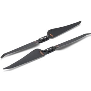
Compact and Portable Design
The drone’s foldable design allows for easy transportation and quick deployment, essential for field operations.
Ideal Applications
Infrastructure Inspection
Conduct detailed inspections of power lines, bridges, and pipelines with high-resolution sensors.
Surveying and Mapping
Perform accurate topographic surveys and 3D mapping for construction and land development projects.
Public Safety and Emergency Response
Support search and rescue operations, disaster assessment, and firefighting efforts with real-time aerial intelligence.
Agricultural Monitoring
Monitor crop health, irrigation systems, and livestock with multispectral imaging and other specialized sensors.
Have Questions?
Everything Drone, in British Columbia